Namdapha National Park
Namdapha National Park
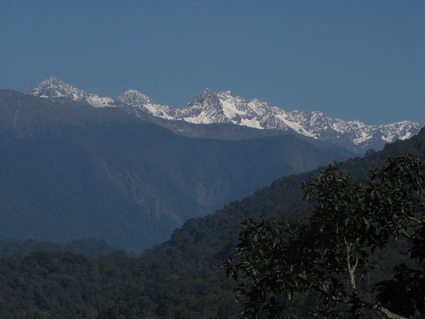
Namdapha National Park is a 1,985 km2 (766 sq mi) large protected area in Arunachal Pradesh of Northeast India. With more than 1,000 floral and about 1,400 faunal species, it is a biodiversity hotspot in the Eastern Himalayas. The national park harbours the northernmost lowland evergreen rainforests in the world at 27°N latitude. It also harbours extensive dipterocarp forests, comprising the northwestern parts of the Mizoram-Manipur-Kachin rain forests ecoregion. It is the fourth largest national park in India. Namdapha was originally declared a Wildlife Sanctuary in 1972, then a National Park in 1983 and became a Tiger Reserve under the Project Tiger scheme in the same year. Its name was combination of two Singpho words "nam" means water and "dapha" means origin (river which originates from Dapha Bum glaciers. The national park is located in Changlang district of the northeastern state of Arunachal Pradesh, near the international border with Myanmar. It spans an area of 1,985 km2 (766 sq mi) including a buffer zone of 177 km2 (68 sq mi) and a core area of 1,808 km2 (698 sq mi). It is located between the Dapha bum range of the Mishmi Hills and the Patkai range with a wide elevation range between 200 and 4,571 m (656 and 14,997 ft). It is crossed from east to west by the Noa Dihing River that originates at the Chaukan Pass, located on the Indo-Myanmar border. The land cover changes with increasing elevation from tropical evergreen forest to temperate broadleaf and mixed forest. Secondary forests cover 345.47 km2 (133.39 sq mi); seasonal snow occurs at above 2,700 m (8,900 ft) between December and March. Additionally, the park has extensive bamboo forests. The area falls under both the Palearctic and Indo Malayan biogeographic areas resulting in a diverse species assemblage.
Address : Namdapha National Park,Namdapha Tiger Reserve, MV Road, Arunachal Pradesh-792122
Image Gallery